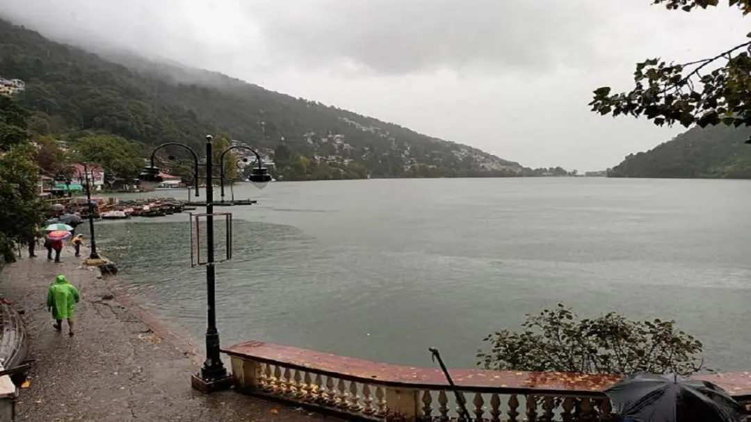
Uttarakhand’s Nainital has recorded around 120 mm of rainfall in the past 24 hours, pushing the water level of Naini Lake rapidly above 88 feet. In view of the continued inflow of water into the lake, the administration and Irrigation Department have opened all channels to drain the additional water, while the lake level is being continuously monitored.
The rainfall has also affected Nainital city and surrounding hilly areas. Continuous rain has made roads wet and sensitive, while the risk of debris and small and large rocks falling from hills has increased at several locations. The administration has advised residents and tourists to exercise caution.

The rising water level of Naini Lake is linked to continued rainfall and water reaching the lake from surrounding catchment areas. As the water level approaches the designated safe limit, arrangements are made to release excess water through channels. As part of this process, all channels have been opened to reduce pressure on the lake.
Rainfall has intensified in the Kumaon region of Uttarakhand over the past few days, with Nainital also affected. The heavy rain has raised the lake’s water level and increased the possibility of landslides and road disruptions in hilly areas. The administration is monitoring vulnerable locations.
With the lake level rising, vigilance has also been increased in the lower-lying areas of the city. The drainage system is being monitored, and the inflow of water into the lake could increase if the rainfall continues. The concerned departments are therefore keeping a continuous watch on the water level, and the drainage arrangements may be activated further if required.
The administration has also advised tourists visiting Nainital during the heavy rainfall to exercise caution. Debris or boulders can fall suddenly on hill roads, making travel on such routes risky during rain. Local residents have also been urged not to visit sensitive areas unnecessarily.
The irrigation and drainage system connected to Naini Lake plays an important role as the lake level rises. Channels are opened to release excess water in a controlled manner, helping regulate the lake level and reduce the risk of waterlogging in surrounding areas.
The rainfall in Nainital comes amid continued poor weather in other mountainous districts of Uttarakhand. Road connectivity has been affected at several places due to continuous rain. The administration and disaster management department have been kept on alert, with relief and rescue teams prepared to be sent to affected locations immediately in case of an emergency.
The water level of Naini Lake has also risen rapidly during heavy rainfall in previous years. Historical records state that the lake’s maximum water level is recorded on a scale of around 12 feet, and drainage gates are opened to release excess water during heavy rainfall.
At present, continued rainfall and the resulting risk of landslides remain the key concerns in Nainital. After the lake water level crossed 88 feet, all channels were opened and the administration continued to monitor the situation. If rainfall decreases, the water level is expected to stabilise, while continued rain may require the drainage system to remain operational.