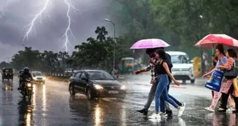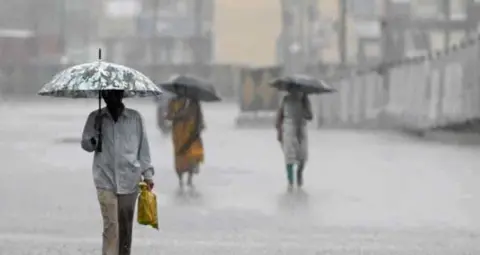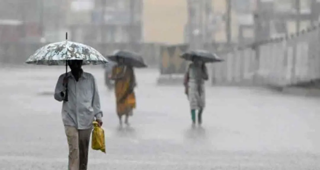
A weather system developing over the Bay of Bengal is expected to influence conditions across Andhra Pradesh and Telangana. According to the India Meteorological Department (IMD), light to moderate rainfall or thundershowers are likely at isolated places in coastal Andhra Pradesh, Yanam and Rayalaseema over the next three days. Heavy rainfall is also possible at isolated locations, accompanied by thunderstorms, lightning and b winds.
The Hyderabad Meteorological Centre has forecast light to moderate rainfall in parts of Telangana today, along with thunderstorms, lightning and gusty winds reaching 30–40 kmph in some areas. However, dry weather is likely to prevail across the state over the following two days.
According to the IMD, a low-pressure area developed at 5:30 am on October 21, 2026, under the influence of a cyclonic circulation over the southwest Bay of Bengal and adjoining coastal Tamil Nadu. The system remained over the same region as of 8:30 am that day. The associated cyclonic circulation extended up to an average altitude of 5.8 km above mean sea level.
A trough extending from the earlier low-pressure area over the southwest Bay of Bengal towards north coastal Andhra Pradesh was also active. It was located at an altitude of approximately 3.1 km above mean sea level. The IMD has reported that the trough has now weakened.




These weather conditions could trigger rainfall and thunderstorm activity across parts of southern India. However, the impact is not expected to be uniform across all districts and locations.
The IMD has also issued a forecast for another potential weather system over the Bay of Bengal. A cyclonic circulation over the Gulf of Thailand and adjoining areas of Thailand and Myanmar remained active as of 8:30 am on October 21. The circulation extended up to an average altitude of 5.8 km above mean sea level.
The system may enter the North Andaman Sea on October 21 and subsequently move west-northwestwards. Under its influence, a new low-pressure area is expected to form around October 23, 2026, over the southeast Bay of Bengal and adjoining central-east Bay of Bengal.
According to the forecast, the system may move northwestwards after formation and is likely to intensify further over the following three days. Its development and movement will influence weather conditions in the surrounding areas.
The forecast for Andhra Pradesh indicates the possibility of light to moderate rainfall or thundershowers at isolated places across coastal Andhra Pradesh, Yanam and Rayalaseema over the next three days. Heavy rainfall is also possible at isolated locations, while thunderstorms and lightning may affect some areas.
According to the Meteorological Centre in Amaravati, wind speeds in parts of the state may reach 30–40 kmph, with occasional gusts of up to 50 kmph.
Residents in affected areas should follow local weather advisories during periods of rainfall, thunderstorms and b winds. People should avoid exposed locations, taking shelter under trees and remaining in unsafe areas during lightning. In the event of heavy rainfall, advisories issued by the local administration and the IMD should be followed.
The Hyderabad Meteorological Centre has forecast light to moderate rainfall in parts of Telangana today. Thunderstorms and lightning are possible at isolated locations, along with gusty winds reaching 30–40 kmph.
The department expects dry weather across the state over the next two days. Rainfall is therefore forecast to be less likely than today, although local weather conditions may change. Residents should monitor the latest forecasts and warnings issued for their respective areas.
Rainfall is not expected to occur uniformly across Telangana. While some locations may experience rain and thunderstorms, other areas may remain dry.
Rainfall is forecast over coastal Andhra Pradesh, Yanam and Rayalaseema over the next three days, while parts of Telangana may experience rain, lightning and b winds today. The IMD has also indicated the possibility of another low-pressure area forming over the Bay of Bengal around October 23, followed by further intensification.
The direction and intensity of these weather systems may change. Residents should therefore refer to the latest bulletins from the IMD and the relevant regional meteorological centres, along with local weather warnings, when making weather-related decisions.