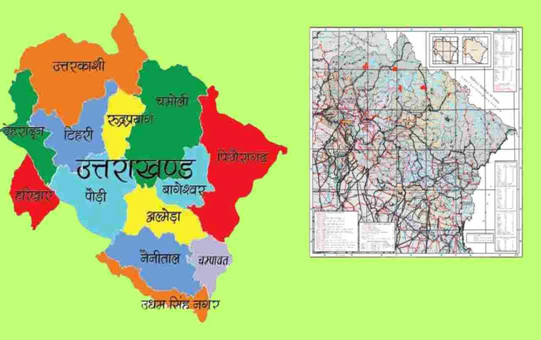
After a two-decade wait, Uttarakhand has received its new, fully updated state map. The Survey of India, the country's sole authorized mapping agency, has released the third official version of the Uttarakhand state map.
Uttarakhand New Map: A map encapsulates the geographical, political, and cultural information of a place. For a state's identity and development, an accurate and updated map is essential. Uttarakhand now has such an updated map, prepared by the country's only authorized agency, the Survey of India.
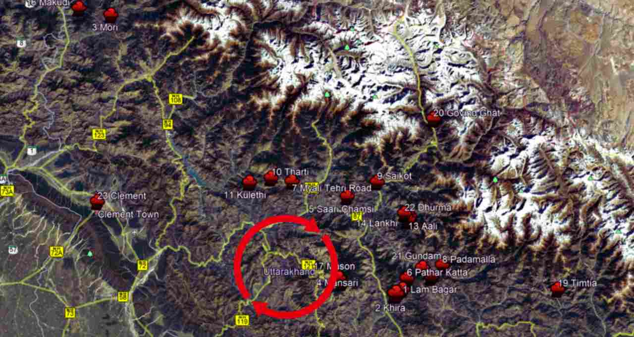
This is the third edition of the state map, completely updated and created at a scale of 1:500,000. This map will provide precise information on the state's geographical boundaries, key locations, resources, and strategic points. This will significantly aid various aspects, from administrative tasks and planning to disaster management.
Map Scale: One Centimeter = Five Kilometers
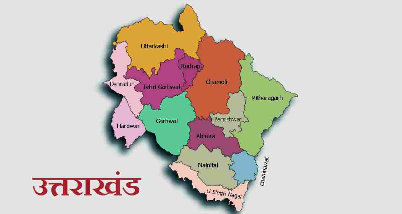
Uttarakhand's new state map is prepared at a scale of 1:500,000 (one to five hundred thousand). This means that one centimeter measured on the map represents five kilometers on the ground. This scale makes calculating precise distances and directions from the map significantly easier and more reliable.
The new version includes the state's road network, administrative boundaries, key locations, geographical features, and their distances and coding systems. Distances between various important locations within the state are shown in a route-based format, improving regional planning and travel planning.
A Glimpse into History: The Journey from 2003 to 2025
The first edition of Uttarakhand's map was released in 2003, three years after the state's formation. The second edition was published in 2008. However, no updated state map was released for the following 17 years, despite significant changes in the state's roads, infrastructure, and geography during that period.
This map is now available on the Survey of India's official website, www.surveyofindia.gov.in, where any citizen or expert can download it free of charge. The map's creation was overseen by Surveyor General Hitesh Kumar S. Makwana. This map will be extremely useful not only nationally but also for global research institutions, environmental planning, and international tourists. An accurate and updated map plays a crucial role in improving the geographical, administrative, and cultural understanding of any region.