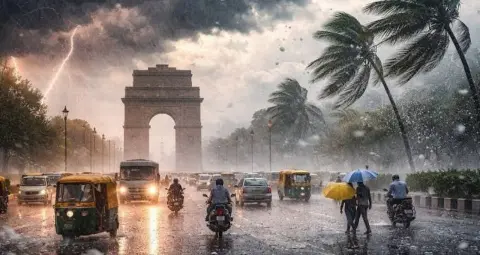
The India Meteorological Department (IMD) has issued another weather alert for rain and thunderstorms as the northeast monsoon becomes active. According to the department's forecast, rainfall and b winds are expected across several parts of northern, eastern and southern India on October 14. The forecast covers Delhi, Uttar Pradesh, Bihar, Rajasthan, Punjab, Uttarakhand, Himachal Pradesh, Jammu and Kashmir, Jharkhand, West Bengal, Odisha and Karnataka. Wind speeds could reach up to 75 kilometres per hour in some areas.
The forecast indicates the possibility of heavy rainfall and b winds in several regions. In hilly areas, heavy rain could increase the risk of landslides and disrupt road connectivity. In the plains, lightning, waterlogging and b winds could lead to incidents involving fallen trees or damaged weak structures. Actual weather conditions may vary by district and local circumstances.
According to the available forecast, Delhi, Uttar Pradesh, Bihar, Rajasthan, Punjab, Uttarakhand, Himachal Pradesh, Jammu and Kashmir, Jharkhand, West Bengal, Odisha and Karnataka may experience rain and thunderstorms. Some locations could also see b winds, while thunderstorms accompanied by lightning and rain are possible in vulnerable areas.
Light to moderate rainfall is also expected in parts of Madhya Pradesh, Chhattisgarh, Andhra Pradesh, Tamil Nadu, Kerala, Puducherry, Tripura and Nagaland. Residents have been advised to check the latest local weather updates before planning travel or outdoor activities.




Delhi is likely to receive moderate rainfall accompanied by b winds on October 14. The maximum temperature is expected to be around 33 degrees Celsius, while the minimum temperature could remain near 23 degrees Celsius.
Rainfall could affect traffic in some areas and lead to waterlogging on roads. Residents of Delhi-NCR have been advised to stay away from open areas during thunderstorms and avoid standing under trees.
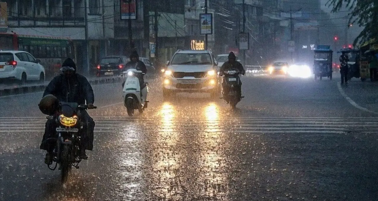
Several districts of Uttar Pradesh, including Bijnor, Aligarh, Muzaffarnagar, Meerut, Moradabad, Ghaziabad, Mathura, Agra, Kanpur, Bahraich, Azamgarh, Mirzapur, Jaunpur, Gorakhpur, Sonbhadra and Prayagraj, along with surrounding areas, may experience rain and thunderstorms. Wind speeds could reach up to 50 kilometres per hour in some locations.
In Lucknow, the maximum temperature is forecast to be around 32 degrees Celsius, while the minimum temperature is expected to be approximately 22 degrees Celsius.
In Bihar, rain and b winds are likely in several districts, including Patna, Gaya, Rohtas, Aurangabad, Nalanda, Saran, Vaishali, Muzaffarpur, Darbhanga, Madhubani, Purnia, Saharsa, Supaul, Kishanganj and Katihar. Patna is expected to record a maximum temperature of around 32 degrees Celsius and a minimum of approximately 23 degrees Celsius.
Rain and b winds are forecast in several parts of Jharkhand, including Ranchi, Dumka, Jamshedpur, Gumla, Palamu, Ramgarh and Hazaribagh. Wind speeds could reach up to 60 kilometres per hour in some locations.
In Uttarakhand, rain and b winds are possible in Nainital, Rudraprayag, Udham Singh Nagar, Haridwar, Pauri Garhwal, Bageshwar and areas around Rishikesh.
Weather conditions could also deteriorate in parts of Himachal Pradesh, including Mandi, Kullu, Chamba, Solan, Bilaspur, Kinnaur, Una and Sirmaur. People travelling through hilly areas have been advised to follow instructions issued by the local administration.
Rain and b winds are expected in several areas of Jammu and Kashmir, including Rajouri, Kishtwar, Poonch, Baramulla, Doda, Kathua, Anantnag and Samba. Srinagar is forecast to record a maximum temperature of around 16 degrees Celsius and a minimum of approximately 10 degrees Celsius.
In Rajasthan, rain and thunderstorms are likely in Sri Ganganagar, Jaipur, Sikar, Alwar, Bikaner, Jhunjhunu, Hanumangarh, Kota, Baran, Tonk, Pali and Udaipur. Jaipur is expected to record a maximum temperature of around 34 degrees Celsius and a minimum of approximately 23 degrees Celsius.