
NASA and ISRO have jointly launched 'NISAR,' the world's first dual-radar satellite. This mission will play a crucial role in earthquake and flood monitoring, agriculture, climate change studies, and disaster management. The data will be freely available to scientists and farmers.
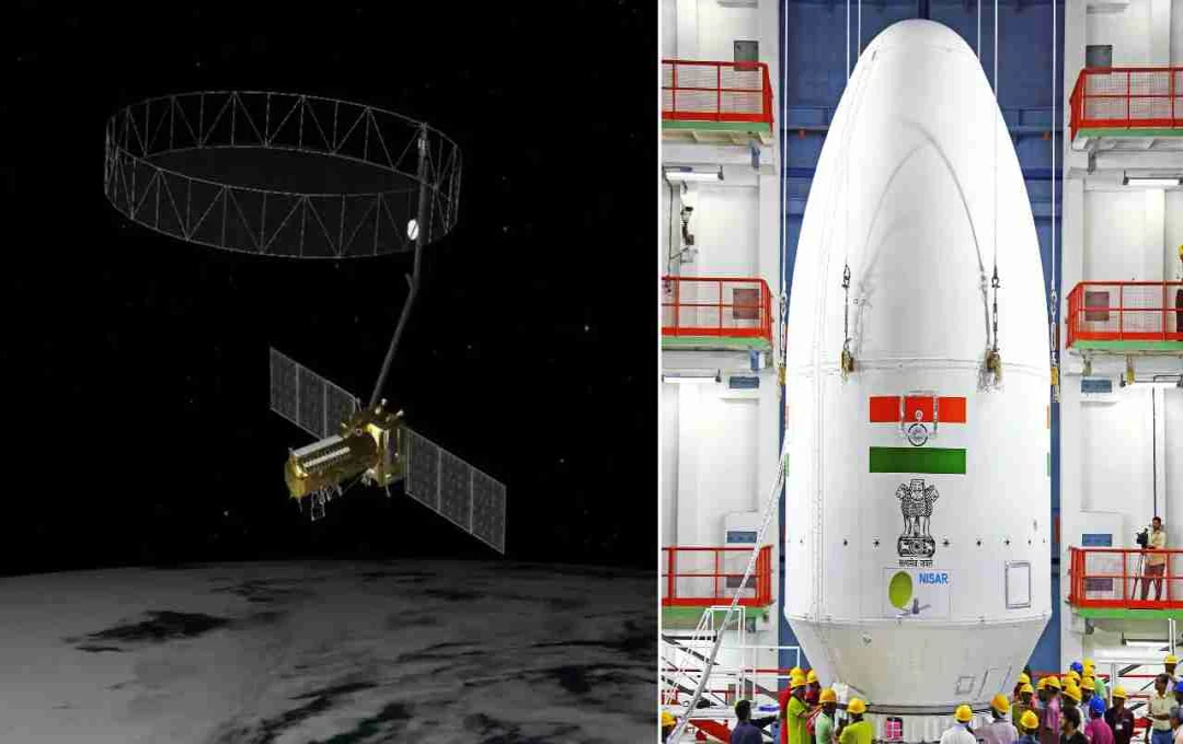
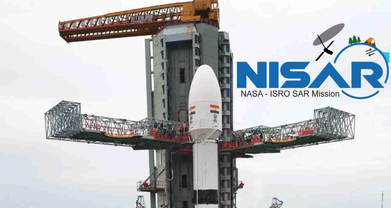
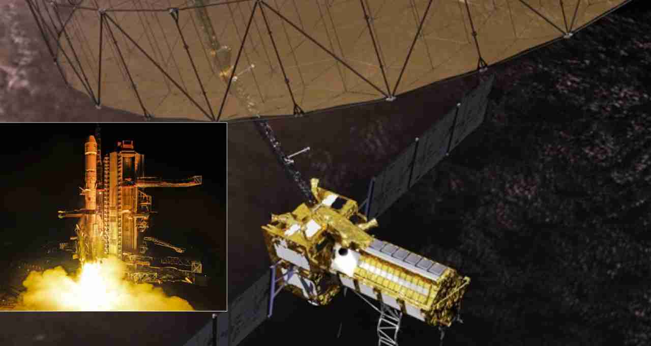
NISAR: The NISAR (NASA-ISRO Synthetic Aperture Radar) mission, a collaborative effort between the space agencies of India and the United States, ISRO and NASA, is poised to achieve a significant milestone. The satellite is scheduled to launch on Wednesday at 5:40 PM from the Satish Dhawan Space Centre in Sriharikota, Andhra Pradesh. The launch will utilize the GSLV Mk-II rocket, and the satellite will be placed into a Sun-Synchronous Orbit.
What is NISAR and why is it special?


NISAR is an Earth observation satellite weighing approximately 2,392 kilograms. It is the first satellite in the world to simultaneously use two radar bands—NASA's L-band and ISRO's S-band. This unique technology enables it to monitor changes on the Earth's surface with exceptional detail. With an estimated cost of $1.5 billion (approximately ₹12,500 crore), it ranks among the most expensive Earth observation missions globally.
Technical Structure of NISAR
The mission has taken approximately 10 years to develop. It features a 12-meter gold mesh antenna, considered the largest in Low Earth Orbit. The satellite is integrated with ISRO's I-3K bus, which includes systems for command, data handling, propulsion, and control, and is equipped with a 4-kilowatt solar power support system.
How will NISAR work?
After launch, the NISAR satellite will be placed in a Sun-Synchronous Orbit at an altitude of 747 kilometers. However, it will not immediately begin transmitting data. It will undergo a 90-day commissioning phase, during which all systems will be tested and calibrated. Only after this phase will it be ready for scientific use.
The Power of the Dual Radar System
L-band SAR (1.257 GHz): This radar uses longer wavelengths, allowing it to measure movements even through dense forests and beneath the soil. This allows for the analysis of subtle changes in ground structures.
S-band SAR (3.2 GHz): This radar uses shorter wavelengths, enabling it to observe surface details such as crops, water bodies, and urban areas with greater precision.
Detailed Coverage with SweepSAR Technology
NISAR will be the first to use SweepSAR technology, allowing it to scan the entire Earth every 12 days. This technology will provide high-quality data within a 242-kilometer range. Notably, the satellite will not be affected by clouds, darkness, or weather conditions. It will be able to capture accurate images of the Earth in all conditions, day and night.
In which areas will NISAR be useful?
- Monitoring of Earthquakes and Volcanoes: NISAR will measure seismic activity in areas considered highly sensitive, such as the Himalayan region.
- Monitoring of Floods and Landslides: By providing quick information on weather-related disasters, it will help disaster management agencies take timely action.
- Assistance in Agriculture: Farmers will receive forecasts of soil moisture, crop conditions, and potential losses, enabling them to make better decisions.
- Monitoring of Forests and Climate Change: This satellite will also monitor events related to climate change, such as deforestation, changes in ice sheets, and sea-level rise.
The data obtained from this mission will be made freely available to scientists, policymakers, agricultural experts, and disaster management units. Importantly, in the event of a natural disaster, this data will be provided within a few hours, helping to protect lives and property.