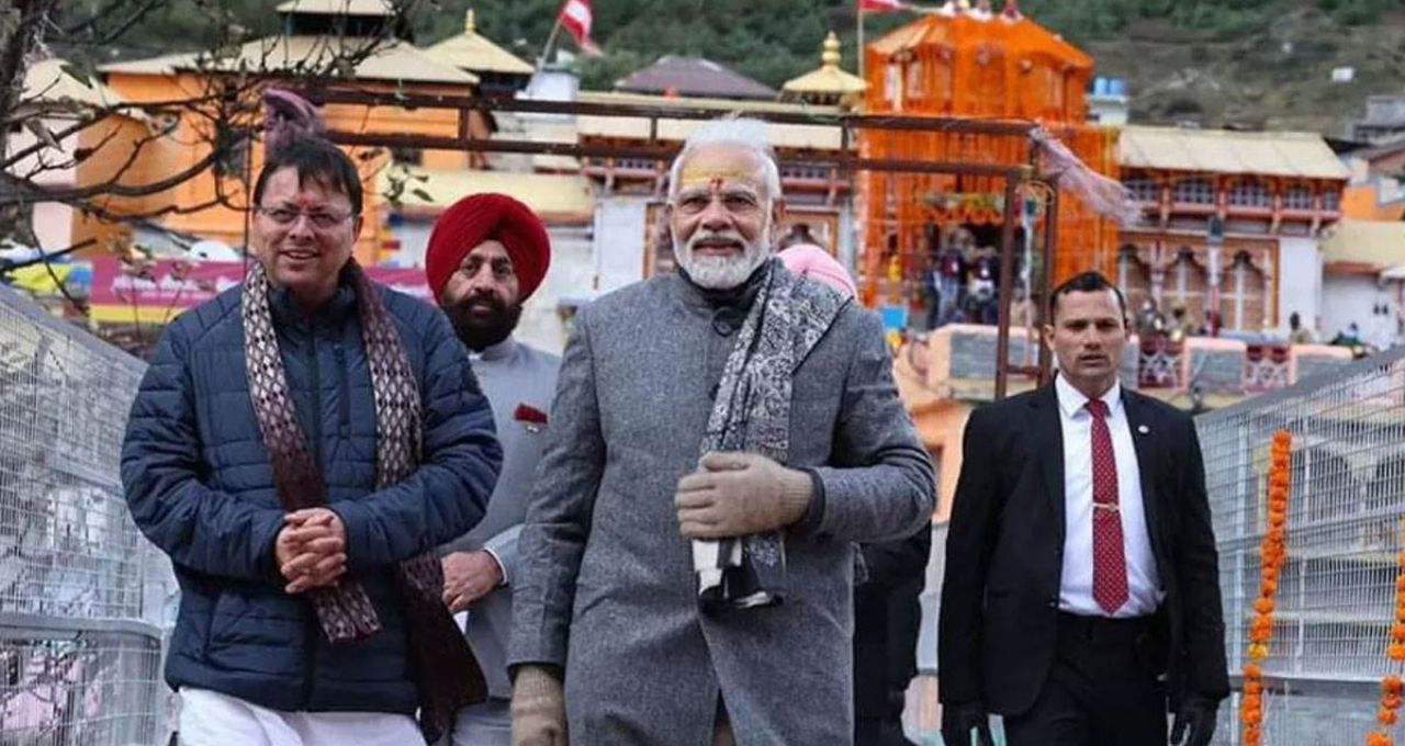
Prime Minister Narendra Modi will conduct an aerial survey of the disaster-affected areas of Uttarakhand today, Thursday. Following this, a high-level meeting will be organized to discuss all aspects of the disaster that occurred in the state in detail.
Dehradun: Prime Minister Narendra Modi will conduct an aerial survey of the disaster-affected areas of Uttarakhand today. After this, he will hold a high-level meeting in Dehradun to review the impact of recent natural calamities in the state and the relief and rehabilitation efforts. The Prime Minister will arrive at Jolly Grant Airport around 4:15 PM. He will be welcomed at the airport.
Following this, PM Modi will conduct an aerial survey of the disaster-affected regions along with Chief Minister Pushkar Singh Dhami. After the aerial survey, he will attend a high-level meeting with officials in Dehradun at 5 PM. This meeting will discuss all aspects including disaster management, loss of government property, loss of life, and loss of livestock.
Impact of this year's disasters in Uttarakhand
This year, Uttarakhand has witnessed the most natural disasters since the Kedarnath disaster. Continuous rainfall and landslides have caused extensive damage. Government institutions' assets worth over approximately ₹1,900 crore have been destroyed. Additionally, many villages have also suffered heavy losses.

Due to heavy rainfall and landslides, land subsidence continues in many areas. Therefore, priority is being given to relief and rescue operations in the affected regions.
State's Demand and Central Inspection
The Uttarakhand government has demanded a relief amount of ₹5,702 crore in view of the disasters that have occurred in the state. A central team has already inspected the affected areas. PM Modi's aerial review will play a crucial role in assessing the progress of relief efforts, the availability of necessary resources, and in determining future strategies.
The objective of the Prime Minister's visit is not only to observe the affected areas but also to strengthen the coordination between the state and central governments. The actual damage will be assessed through the aerial survey, and then, in the high-level meeting, plans for immediate relief, rehabilitation, and reconstruction work in the affected areas will be formulated.


