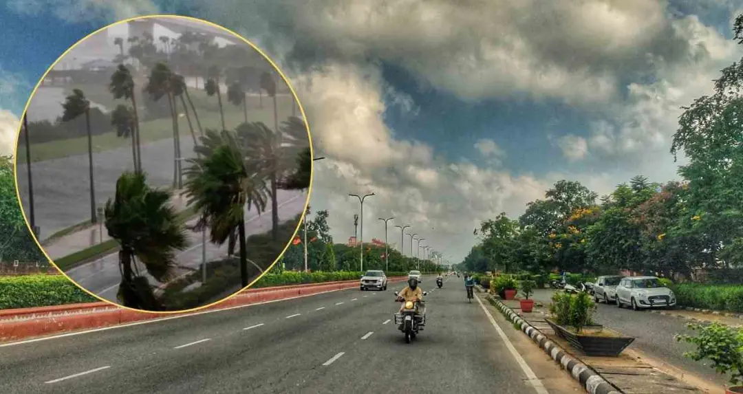
A new western disturbance is becoming active over Rajasthan from today, with its impact expected to be observed widely in the coming days, according to the Meteorological Centre, Jaipur.
Weather Change Expected from 27 March in Northwestern Districts




According to the latest bulletin from the Meteorological Centre, Jaipur, weather conditions will change in the northwestern parts of the state on 27 March. Thunderstorms, light rainfall, and b winds are likely in Bikaner, Sri Ganganagar, Hanumangarh, Churu, Sikar, and Jhunjhunu, particularly after the afternoon. Other parts of the state are expected to remain generally dry, although temperature fluctuations will continue.

Peak Impact Between 28 and 30 March
The weather department stated that the western disturbance will have its maximum impact between 28 and 30 March.
On 28 March, conditions are expected to change rapidly in the Jodhpur and Bikaner divisions as well as the Shekhawati region, with the likelihood of b winds and rainfall.
On 29 and 30 March, the situation may intensify further, affecting major divisions including Jaipur, Ajmer, Bharatpur, Udaipur, and Kota. Winds with speeds of 40 to 50 kilometres per hour, along with thunder and light to moderate rainfall, are likely in these areas. In view of the sudden change in weather conditions, agricultural experts have issued a special advisory for farmers.