
A 4.1 magnitude earthquake struck near Bandar Abbas in southern Iran on Saturday morning, according to the United States Geological Survey (USGS), amid ongoing military tensions in the Middle East.
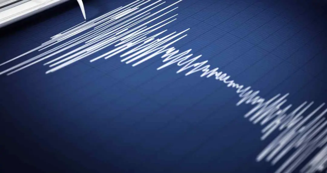
The tremor was recorded at approximately 8:48 a.m. Indian Standard Time. The earthquake measured 4.1 on the Richter scale.
USGS data indicated that the epicenter was located about 74 kilometres west of the city of Bandar Abbas. Scientists reported that the earthquake originated at a depth of approximately 10 kilometres below the Earth's surface.


Because of the relatively shallow depth, tremors were felt across several nearby areas. Local reports indicated that residents exited homes and buildings shortly after the tremor was felt. A brief period of confusion was reported in some locations.
No major damage or casualties have been officially reported so far. Authorities said they are monitoring the situation and advised residents to remain cautious.
The earthquake occurred at a time when Iran is experiencing elevated military tensions involving the United States and Israel. Security concerns have already been present in several cities amid ongoing confrontations and retaliatory actions.
In this environment, the tremor increased anxiety among residents already living under heightened tension. Several individuals shared information about the earthquake on social media, stating that the event added to existing fears.
Experts stated that natural disasters occurring during conflict situations can increase psychological stress among populations.
Seismic activity has been recorded in Iran in recent days. Earlier this week, on Tuesday, another earthquake was reported in the southern part of the country.
That tremor measured 4.3 magnitude on the Richter scale and occurred near the Gerash area in the southern region of Iran's Fars province.
During that event, tremors were also recorded at a depth of approximately 10 kilometres below the ground surface. No major damage was reported in that incident.
Scientific data released regarding the March 3, 2026 earthquake indicated that its epicenter was located about 52 kilometres northwest of the city of Gerash.
The location of that earthquake was recorded near latitude 28.036°N and longitude 53.789°E. The depth of the earthquake was reported at approximately 10 kilometres, resulting in tremors being felt across nearby areas.
Local authorities had at that time also advised residents to remain cautious while monitoring the situation.