

In today's digital world, GPS has become an essential part of our daily lives. Not only the United States, but six major countries and groups possess their own navigation systems, such as GPS, GLONASS, BeiDou, Galileo, QZSS, and India's NavIC. These systems ensure precise location and control in smartphones, vehicles, and security equipment.
Global Navigation Systems: Only six countries in the world have their own GPS systems: In today's digital world, GPS is crucial for accurate location and navigation in smartphones, vehicles, and other devices. The USA's GPS, Russia's GLONASS, China's BeiDou, Europe's Galileo, Japan's QZSS, and India's NavIC are the key systems in this domain. All these systems continuously send signals to Earth and are used globally for technological independence, security, and strategic advantage. Smartphones and security equipment worldwide rely on them.
GPS Systems of America and Russia


The world's oldest and most popular GPS was developed by the United States. It comprises over 24 satellites orbiting at an altitude of approximately 20,200 kilometers from Earth. Most navigation used in smartphones and vehicles is based on this system.
Russia's GLONASS system is also old and has been active since the 1980s. It also has 24 satellites and performs better than GPS in some regions. The systems of both countries are crucial globally for both military and civilian use.
GPS Systems of China, Europe, and Japan

China's BeiDou system was initially regional but now covers the entire world and comprises over 35 satellites. The European Union's Galileo system is known for high-accuracy and includes 28 satellites, designed specifically for civilian use.
Japan's QZSS system is designed for the Asia-Pacific region. It works in conjunction with GPS and provides location data even in areas where GPS signals are weak.
India's NavIC System
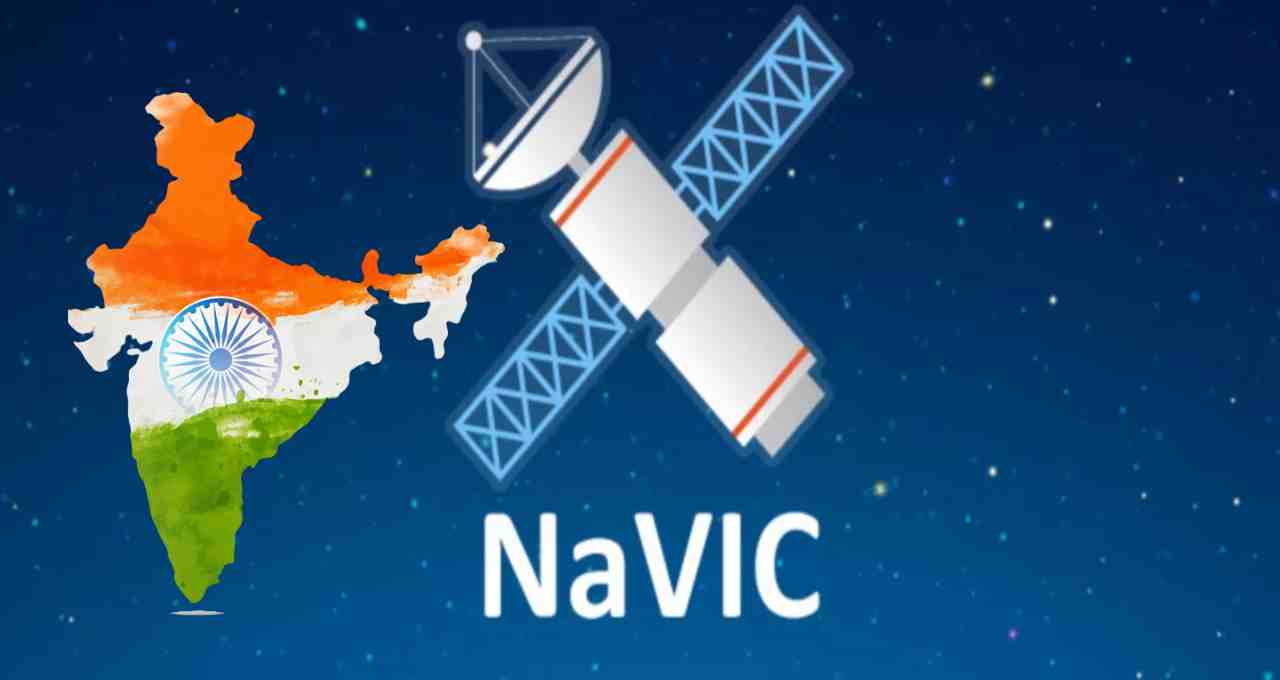
India has also advanced in this field by developing the NavIC system through ISRO. It includes 7 satellites and provides highly accurate location data for India and its surrounding regions. Launched in 2013, NavIC is considered crucial for security and strategic objectives.
NavIC is not only a symbol of technological independence but also helps India maintain its competitive edge in the global navigation network.