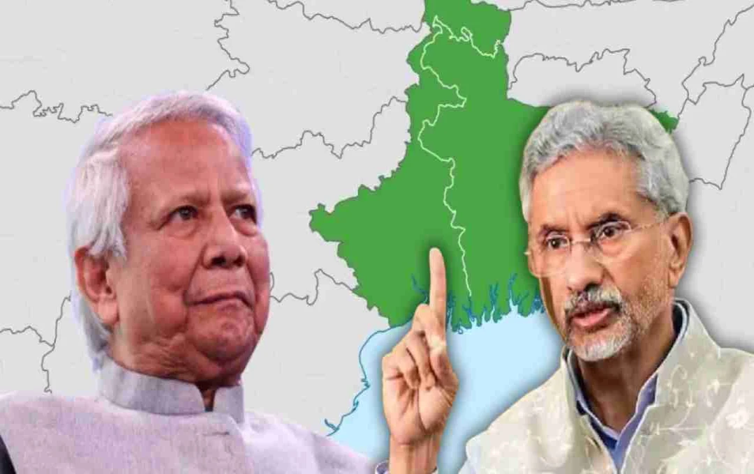

Greater Bangladesh map displayed at Dhaka University included parts of India. India expressed concern; External Affairs Minister Jaishankar said – We are fully committed to protecting national interests.
Greater Bangladesh Map: A new diplomatic challenge has recently arisen between India and Bangladesh. During a historical exhibition held at Dhaka University in Bangladesh, a map of Greater Bangladesh was displayed by an organization called "Salnat-e-Bangla," which included parts of India.
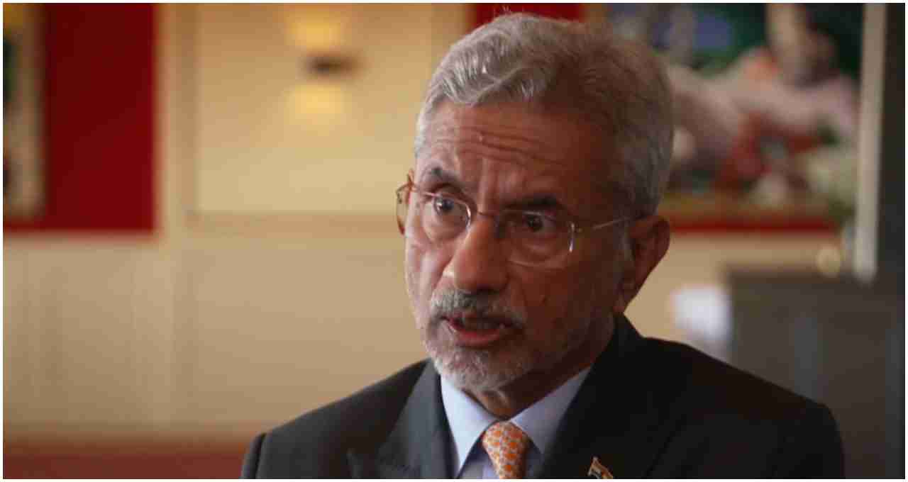
Following this development, External Affairs Minister S. Jaishankar took a clear and firm stance on the matter in the Indian Parliament. He said that the Indian government takes seriously any attempt that could affect the country's integrity and security.

What is the matter of Salnat-e-Bangla and Greater Bangladesh?
A historical exhibition was organized at Dhaka University on April 14, 2025, on the occasion of Bangla New Year. In this exhibition, a map was displayed, which was allegedly prepared by an organization called "Salnat-e-Bangla." This map depicted Assam, West Bengal, Tripura, and some other northeastern parts of India as a so-called 'Greater Bangladesh'.
However, the Bangladesh government has distanced itself from this entire episode, saying that there is no evidence of the existence of any organization called "Salnat-e-Bangla" and that this map was displayed merely to depict historical contexts.
Foreign Minister's reply in Parliament
External Affairs Minister S. Jaishankar informed Parliament that the Indian government is keeping an eye on the entire matter and that all necessary diplomatic and security measures are being taken. He clarified that India is fully committed to protecting its national interests and that any activity that challenges India's sovereignty will not be tolerated.
Jaishankar also stated that the alleged organization is supported by a Turkish non-governmental organization called 'Turkish Youth Federation'. This information is based on reports shared by India's intelligence agencies.
Bangladesh government's clarification
The Bangladesh government immediately responded to the controversy, saying that the map was part of an academic and historical exhibition, the purpose of which was to show the boundaries of the ancient Bengal Sultanate. The government's fact-check platform 'BanglaFact' also confirmed that there is no concrete evidence of the existence of an organization called "Salnat-e-Bangla" and that the map was not displayed for any political purpose.
This incident has once again created a situation of tension in the diplomatic relations between India and Bangladesh. Relations between the two countries have already been strained over several issues for the past year, and in such a situation, this matter may further weaken mutual trust between the two countries.