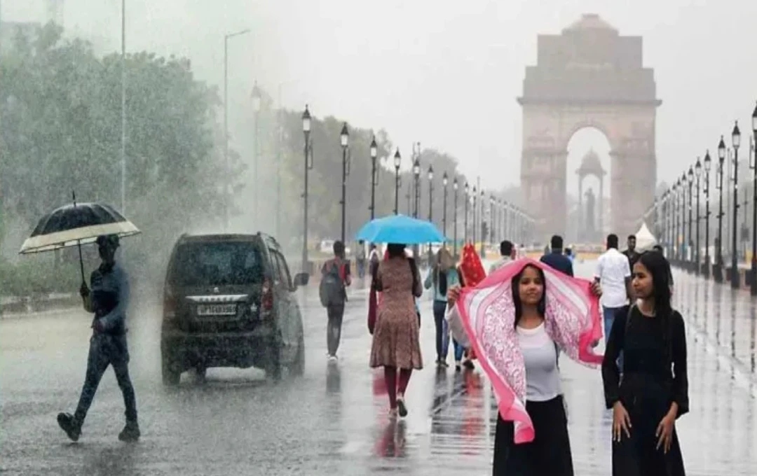

Delhi recorded dry weather for the third consecutive day on Saturday. The absence of clouds and light winds led to a slightly warmer feel during the day, although temperatures remained well below extremely high levels.
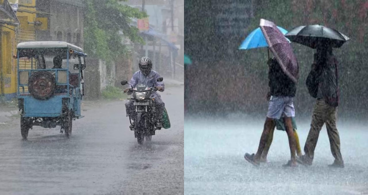
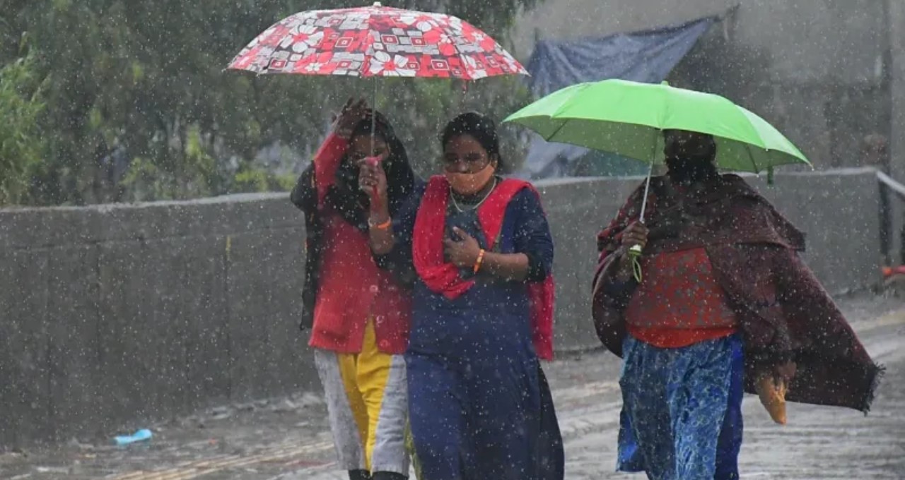
Weather Update: The monsoon has now fully established itself across most parts of the country. Rajasthan has witnessed heavy rainfall for the past 48 hours, and the meteorological department indicates that the monsoon will become fully active in Delhi, Uttar Pradesh, Madhya Pradesh, and the Himalayan states in the coming days.
According to the India Meteorological Department (IMD), the monsoon's northern limit (NLM) has reached Jaipur, Agra, Dehradun, Shimla, and Manali. Conditions are ripe for the monsoon's activation across northern India, including Delhi and Chandigarh, in the near future.
Monsoon's Fury in Rajasthan: Record Rainfall in Several Districts


The southwest monsoon has made a b onset in Rajasthan. Heavy to very heavy rainfall was recorded in several districts of eastern and western Rajasthan in the last 24 hours. Niwai in Tonk district received the highest rainfall at 165 mm. Other areas with significant rainfall include Chaksu in Jaipur (153 mm), Chauth Ka Barwara in Sawai Madhopur (139 mm), Sikrai in Dausa (119 mm), Bundi (116 mm), and Kota (115 mm).
The meteorological department predicts heavy to very heavy rainfall in parts of Bharatpur, Jaipur, and Kota divisions on June 22 and 23. Authorities have been advised to remain vigilant.
Dry Weather Continues in Delhi
While the approach of the monsoon is felt in the national capital, Delhi continues to await rainfall. Dry weather persisted for a third consecutive day. However, daytime temperatures remain below normal, and are unlikely to exceed 36°C next week. Minimum temperatures will stay around 25°C.
According to meteorologists, two cyclonic circulations are currently active over Delhi—one over western Rajasthan and the other over the Jharkhand region. An east-west trough connecting these two circulations is passing south of Delhi and may soon influence the capital. The IMD stated that from June 22, the trough line will shift towards the Terai region of western Uttar Pradesh and Uttarakhand, increasing the likelihood of thunderstorms and rain in Delhi and the NCR.
Heavy Rainfall Forecast for Madhya Pradesh, Gujarat, and Konkan
The meteorological department has predicted heavy to very heavy rainfall in Madhya Pradesh, Gujarat, and the Konkan-Goa region between June 21 and 26. There is a particular risk of extremely heavy rainfall (over 20 cm) in parts of Gujarat and MP on June 21 and 23. Authorities have been instructed to remain vigilant and take precautions in flood-prone areas.
Northeast India Also Under Monsoon's Influence
The monsoon is highly active in Northeast India. Thunderstorms, lightning, and heavy rainfall are expected at several locations in Assam, Meghalaya, Mizoram, Tripura, and Arunachal Pradesh for the next 7 days. A warning for extremely heavy rainfall has been issued for sub-Himalayan West Bengal and Sikkim on June 22. Heavy rainfall is also likely in Bihar, Jharkhand, Odisha, Chhattisgarh, and Vidarbha region between June 24 and 27. Jharkhand is expected to see thunderstorms and heavy rainfall on June 22, 24, and 25, while Odisha will likely experience the same on June 24-25.
The meteorological department stated that conditions are fully favorable for the monsoon's advance into the remaining parts of Jammu and Kashmir, Ladakh, Punjab, Haryana, and Delhi within the next two days. This suggests that the monsoon could become active across the entire north India before June 24.